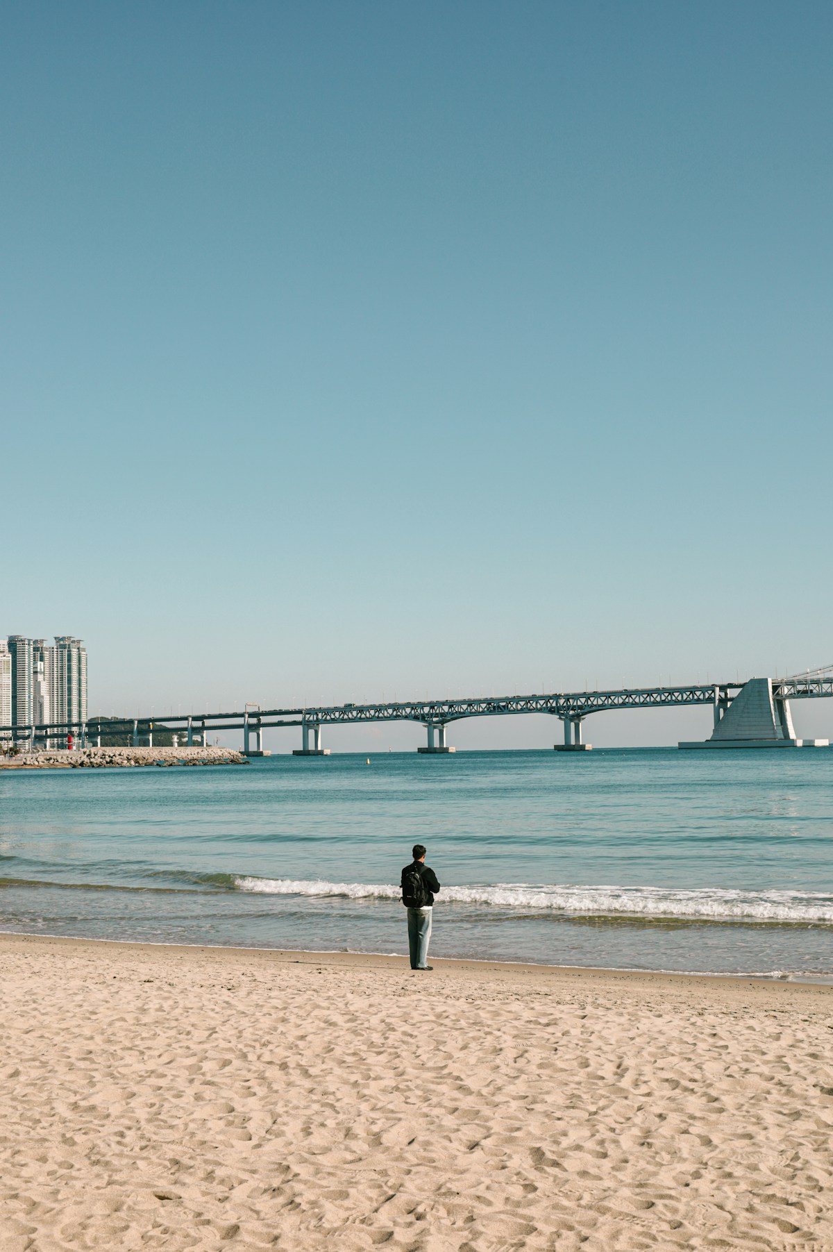
The Jeju Olle trails are a network of 27 walking routes around the coastline and interior of Jeju Island. Designed by journalist Suh Myung-sook and opened from 2007, the trails were modelled on the Camino de Santiago - not in scale but in philosophy: well-marked paths connecting communities, with accommodation and food along the route. The network now covers approximately 437 km. Most foreign visitors walk one to three routes during a Jeju stay; full-circuit walkers treat the island as a multi-week destination.
How the Trail System Works
Each numbered route runs between two designated start and end points (stamping stations), with blue-orange ribbon markers and directional arrows throughout. At the end of each route, you get a stamp in your Olle trail passport (available at the Jeju Olle Trail Foundation offices in Jeju City and at major starting points for approximately KRW 3,000).
Trail markers: Small blue and orange ribbons on trees and posts. Metal Gangsaemae (a traditional Jeju scarecrow figure) figures at junctions pointing the direction. Arrows on the ground at complex intersections. If you walk 15 minutes without seeing a marker, you have diverged - backtrack to the last one.
Start points: Routes typically begin and end near bus stops with connections to Jeju City or Seogwipo. Public transport planning is the key logistics challenge - the official website (jejuolle.org) lists the bus connections for each route endpoint. A rental car allows you to use multiple trailheads freely but means leaving a car at one end while walking to the other.
Best Routes for Different Types of Walker
Route 1 - Seongsanpo to Gwangchigi Beach
Distance: 15.1 km | Time: 5–6 hours | Difficulty: Moderate
The most popular starting point for the Olle trail. The route begins at Seongsan-ri near the base of Seongsan Ilchulbong (Sunrise Peak) and follows the coast westward past Oreum (parasitic volcanic cone) viewpoints, fishing villages, and a lighthouse. The route ends at Gwangchigi Beach near Ojo-ri.
Why start here: Seongsan Ilchulbong is already a major Jeju attraction - combining it with Route 1 on the same day makes logistical sense. Climb the peak first (entry fee KRW 5,000 adults, about 40 minutes up), then start the Olle trail from the base.
Trailhead transport: Buses from Jeju City to Seongsan-ri run frequently via the coastal road (bus 110-1, approximately 1 hour 10 minutes, KRW 3,000). Buses from Gwangchigi Beach back to Jeju City or Seogwipo also run regularly.
Route 7 - Weoljeong Beach to Hamdeok Beach
Distance: 17.6 km | Time: 5–6 hours | Difficulty: Easy-Moderate
The north coast route, passing along the island’s turquoise-water beach strip. Weoljeong Beach is known for its distinctive blue water (unusual for Korea’s coasts) and beach cafés. The route continues along the coastline through smaller bays to Hamdeok - one of Jeju’s most popular family beaches. Relatively flat terrain throughout.
Best for: First-time Olle trail walkers who want coastal scenery without significant elevation. The beach section is photogenic even at mid-day in poor weather.
Trailhead transport: Bus 920 from Jeju City Bus Terminal to Weoljeong-ri (approximately 40 minutes, KRW 2,000). Return from Hamdeok Beach via bus 101 (20 minutes to Jeju City).
Route 1-1 - Udo Island Circuit
Distance: 11.3 km | Time: 3.5–4.5 hours | Difficulty: Easy
A circuit of Udo Island, accessible by ferry from Seongsan-ri (20 minutes, KRW 12,000 return). Udo’s small size makes Route 1-1 achievable in half a day - the circuit passes black sand beaches, a lighthouse, sea urchin farms, and the famous white coral beach. See the separate Udo Island day trip guide for full details.
Route 10 - Hwasunseopji Coastal Wetlands
Distance: 15.3 km | Time: 5–6 hours | Difficulty: Easy-Moderate
One of Jeju’s least-crowded routes, running through agricultural land and coastal wetlands on the island’s south coast. The Hwasunseopji wetlands are a bird-watching site with herons and migrating species from October onwards. The volcanic rock coastline in this section is raw and unmanicured - few facilities but strong natural atmosphere.
Route 18 - Daepo Coast to Jungmun Beach
Distance: 18.6 km | Time: 6–7 hours | Difficulty: Moderate
The Daepo Jusangjeolli Cliff section - columnar basalt formations rising from the sea, created by ancient lava flows meeting the ocean - is the visual highlight. Similar in character to Giant’s Causeway in Northern Ireland. After the cliffs, the route passes through the Jungmun beach complex, which is Jeju’s main resort zone. Route 18 provides a good contrast between raw geological scenery and the developed resort area.
Trailhead transport: Bus 182 from Seogwipo to Daepo (30 minutes). End point at Jungmun Beach has bus connections back to Seogwipo and Jeju City.
Walking the Full Circuit
For those intending to walk all 27 routes:
Time required: Approximately 20–26 days walking one route per day, with some longer rest days or route combinations. Best approach: Many walkers do the circuit in two or three separate visits rather than as a continuous journey. Stamp passport completion: Finishing all routes and collecting all stamps qualifies for an Olle Trail Completion Certificate from the Foundation. Full-circuit infrastructure: Most routes pass through towns with food and accommodation. Routes 6 (mountain interior) and 14 (remote south coast) have the fewest facilities - carry more water and food on these days.
Practical Information
Trail fees: The Olle trails are free to walk. The stamp passport costs approximately KRW 3,000 and is optional.
Water: Water fountains are available at designated rest points on most routes. Carry at least 1.5 litres for a full route - refill opportunities are inconsistent between routes.
Food: Routes pass through towns with convenience stores and restaurants at roughly 5–8 km intervals on most routes. The quieter south coast routes have less frequent facilities.
Transport between trailheads: Jeju’s bus network covers most trailheads, though connections can be infrequent (hourly or less). The Jeju Tour Bus (a hop-on hop-off bus designed for tourists) covers the east coast routes but does not reach all Olle starting points. A rental car or scooter gives the most flexibility for connecting multiple trailheads.
Official website: jejuolle.org offers English-language route profiles, maps, and accommodation listings along each route.
Combining Olle Trails with Other Jeju Attractions
Route 1 pairs naturally with Seongsan Ilchulbong. Route 1-1 is the Udo Island circuit. Routes 5–6 pass near Sanbangsan and Yongmeori Coast. Route 18 passes Jusangjeolli Cliff.
If you have three days on Jeju and want a mix of hiking and sightseeing:
- Day 1: Hallasan summit (full day)
- Day 2: Seongsan Ilchulbong + Olle Route 1 (half day each)
- Day 3: Olle Route 18 (Daepo cliffs) + Jeju City Dongmun Market
This covers Jeju’s main natural attractions without repetition.